Sweco’s geospatial experts provide project stakeholders with real-world, data-driven solutions and insights to support informed decision making.
Using industry leading tools like the Esri Enterprise Suite and FME, we translate raw project data into contextualised, easy-to-navigate stories and visualisations, and unlock full ‘360-degree’ understanding of people, workflows and services required, as well as the constraints which could impact your projects.
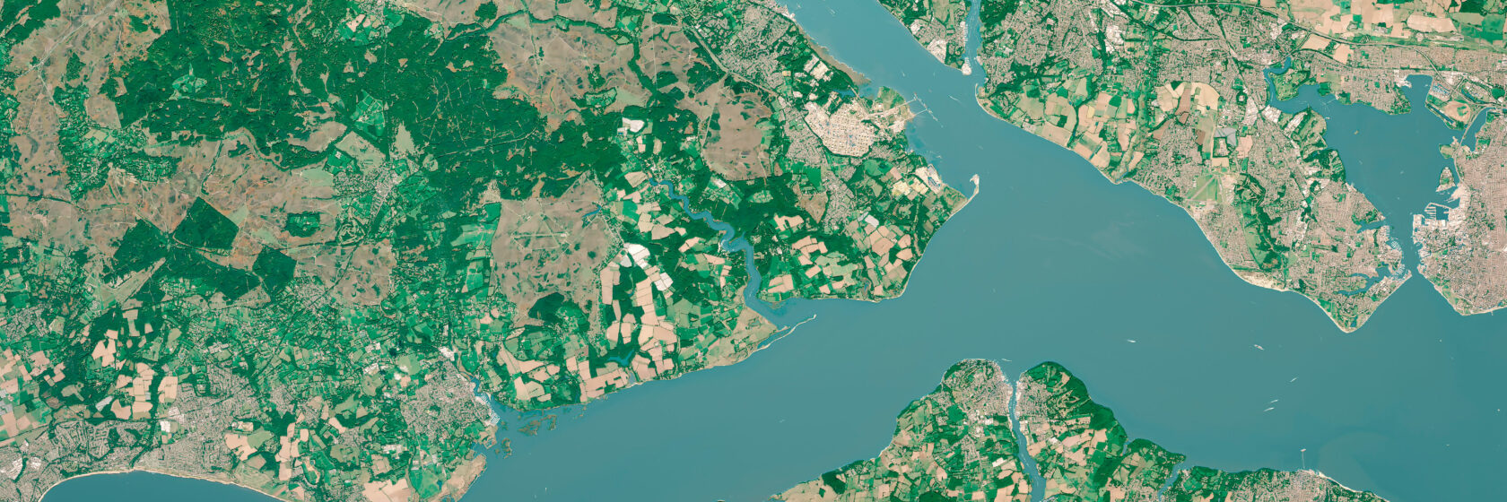
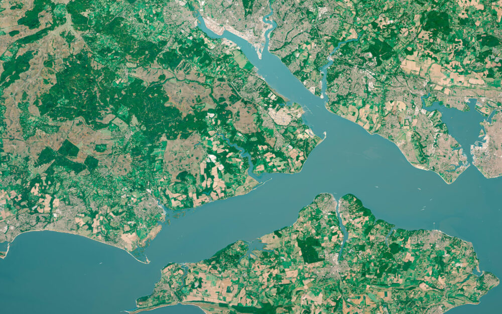
Geospatial solutions have become indispensable to address complex urban, environmental, and infrastructural challenges. At Sweco we combine advanced geospatial and digital twin technologies to give public and private clients a single, trusted view of the places they design, build and manage. We deliver precise, interoperable spatial data that reduces risk, speeds decision-making and supports net zero and resilient infrastructure across cities, transport, utilities and property portfolios.
By working collaboratively, implementing digital data collection solutions, and creating data-drivendecision making systems usingGIS,and integrations withBIM (Building Information Management),or even Zero Drawing Construction modelling, we can provide stakeholders with an invaluable ‘time and place’ view of a future project.”
Raquel Martin Trivino GIS & Digital Advisory Services Team Manager
Our core geospatial solutions
Spatial analytics and data science
Spatial data science examines geographic patterns and relationships to inform decisions. Using spatial analysis, statistics and modelling, our consultants uncover trends and correlations that support efficient planning, resource management and impact assessment
Environmental constraints assessment
Site selection and feasibility analysis
Multi-Criteria Decision Assessment (MCDA)
Risk and hazard analysis
Route optimisation
Geodemographics analysis
Climate adaptation and resilience analysis
Nature-based solutions (NBS)
Placemaking analysis
Biodiversity Net Gain Assessment (BNG)
Software & technology capabilities
Our online geospatial solutions use web GIS technology for real-time data sharing and collaboration, and desktop GIS technology for spatial data management and spatial analytics when required. This enhances accessibility, automates workflows, and supports faster, data-driven decisions.
Interactive web mapping applications
Digital stakeholder engagement
Public consultation hubs
Digital solutions for site data collection (ArcGIS suite)
Smart forms and automated reporting
Digital Environmental Impact Assessment (EIA)
Interactive dashboards
ArcGIS StoryMaps
Spatial ETL (extract, transform, load)
FME workflows
Governance (data management)
Data governance ensures spatial data is accurate, consistent, and secure. Robust management frameworks maintain quality, interoperability, and trust across geospatial systems.
Data Governance framework development
Data quality assurance & control
Data integration and interoperability
Data lifecycle management
Data integration and standardisation
BIM and Revit models integration
Spatial database design
Metadata management
ArcGIS Utility Networks
GIS training
Data modelling & visualisation
Data modelling and visualisation converts complex spatial data into clear, actionable insights. Interactive maps and dashboards help communicate results and guide more informed, fact-based decision-making.
Linear Referencing Systems (LRS)
Asset data schema design and attribution
Development of custom tools for ArcGIS
Mapping and cartography services
Environmental constraints mapping
Zones of theoretical visualisation (ZTV)
Heat maps and clustering
3D scenes
Public exhibition materials
Power BI & ArcGIS dashboards
Leveraging visualisations, dashboards, storyboards, reports, heat maps, interactive maps and other types of models we canoffer comprehensive geospatial data analytics that give stakeholdersthe context needed for crucial scoping discussions, particularly where community consultations are required.
Felicity Cross Technical Manager
Geospatial visualisation technology has become an essential part of big data mapping, trend analysis and asset lifecycle management. Using digital tools to simplify our view of ‘what is where’ at a given time in relation to a given project, planners and designers can open up a whole new world of engagement and efficiency for clients and their end users.
Data and digital representation of our world is increasing at an incredible rate, making sense of this data is made easier when large volumes or, data from different sources are brought together into a single spatial view. The usefulness of maps is obvious when we are doing everyday activities, like travelling from A-B, arranging a location to meet, or providing someone with directions. But the logic of mapping is even more powerful when evaluating data related to bigger picture issues such as climate change impacts, how to plan for sustainable development to address societal challenges, or exploring engineering solutions to address challenges of systems resilience.
Ask us about…
Geographical information systems/science
Spatial analysis
Cartography
Risk assessment/mapping
Data modelling/visualisation
GeoBIM services
Network analysis
Hazard mapping
Earth observation
Remote sensing
Geoprocessing
Esri support
Digital surveys
FME support
Geoportals
Geodatabases
Data capture
Asset management
Why Sweco?
Sweco combines discipline specific expertise with geospatial technology and data-led methods to deliver end-to-end projects and provide decision-ready insight.
We integrate a rich tapestry of georeferenced data, build risk-based prioritisation models, and communicate them via intuitive maps and dashboards – accelerating design workflows, targeting investment, and strengthening resilience and environmental performance.
With Sweco as your trusted advisor, you will benefit from diverse project experience, comprehensive support and a collaboratively multi-disciplinary approach.
The unique combination of our global team and cross-discipline competencies enables us to participate in the entire planning process for any development, from preliminary investigations to design through to construction operations. Ultimately, Sweco’s geospatial solutions will help organisations take decisions that will result in a more environmentally, economically, and socially sustainable society.
Panos Chiotis Principal GIS Consultant
The combination of our global skills and cross-discipline competencies enables us to participate in the entire planning process for any development, from preliminary investigations to design through to construction operations. Ultimately, Sweco’s geospatial solutions help organisations make decisions that will result in a more environmentally, economically, and socially sustainable society.
To discuss a project, explore a proof of concept or arrange a consultation, contact our GIS & Digital Advisory team below.
Sweco’s Geospatial experts help the water sector overcome challenges with tailored, data-led GIS solutions, combining cutting-edge tech, rigorous analysis and clear communication to deliver smarter infrastructure: clearer asset visibility, faster design, risk-aware routing, equitable planning and real-time performance—reducing cost, outages and environmental impact.
Our core expertise
Data driven siting and routing
Risk and resilience critical assets mapping
Multi Criteria Decision Assessment (MCDA)
Interactive web maps & apps for Stakeholder engagement
Location analytics dashboards
Field efficiency through mobile data collection & report automation
Tooling & automation with ESRI Suite and FME
Mapping & Cartography services
Single source of truth – data management & governance
Esri Utility Network advisory & administration
Project highlights
Yorkshire Water Operational Technologies Cyber Security
Scottish Fire & Rescue Service, building stock flood & built environment risk assessment
Yorkshire Water EDMS MIMMS Replacement Digital data collection & automated reporting
Sweco combines water engineering with geospatial technology and data-led methods to deliver end-to-end projects and provide decision-ready insight. We integrate data, build risk-based prioritisation models, and communicate them via intuitive maps and dashboards—accelerating design workflows, targeting investment, and strengthening resilience and environmental performance.
At Sweco we turn our clients active travel and micro‑mobility ambitions into a reality with our data‑driven approach. Using GIS, state‑of‑the‑art tech and precise analysis, we reveal demand, prioritise corridors, and engage communities – so you can plan faster, invest smarter and create safer, more equitable walking, wheeling and cycling networks.
Sweco’s Geospatial Team are members of the Association of Geographical Information (AGI).
Our core expertise
Evidence‑based network planning & prioritisation
Bespoke Multi Criteria Decision Assessment (MCDA)
Sweco Build Your Bike Rout (BYBR) scoring tool
Demand & Safety Analysis
Site Selection & Place Making
Stakeholder engagement & Public Consultation hub sites
Location analytics dashboards
Field data collection & Monitoring and evaluation solutions
Tooling & automation with ESRI Suite and FME
Mapping & Cartography services
Sweco data and GIS solutions reveal demand, barriers and inequities, guiding accessible, inclusive active travel projects.
Our advanced GIS tools empower you to make informed decisions based on accurate data analysis.
Sweco is dedicated to overcoming the challenges faced by the energy sector. Our Geospatial experts deliver tailored solutions through advanced data, cutting-edge technology and innovation, meticulous analysis, and effective communication.
Our core expertise
Multi Criteria Decision Assessment (MCDA)
Interactive web maps & web apps
Data analytics dashboards
Field data collection solutions
Tooling & automation with ESRI Suite and FME
Mapping & Cartography services
Project highlights
SP Energy Networks (SPEN) substation siting
Overhead Cable Line routing
Renfrewshire Council Local Heat and Energy Efficiency Strategy (LHEES)
G15 Heat Mapping and Masterplanning
With considerable experience and knowledge in the energy sector, we tailor GIS solutions to meet the unique needs of your industry projects. Our advanced GIS tools empower you to make informed decisions based on accurate data analysis.
By integrating cutting-edge geospatial technology, you can streamline workflows and enhance productivity.
Together with our clients and the collective knowledge of our 22,000 engineers, consultants and other specialists, we co-create solutions to address urbanisation, capture the power of digitalisation, and make our societies more sustainable. With international multi-disciplinary teams, we can call on the right insight and technical capability at the right time from across Buildings, Infrastructure, Advisory & Planning and Compliance.
We use cookies to optimize our website and our services. For our policies, please visit our Cookie Policy
Functional
Always active
The technical storage or access is strictly necessary for the legitimate purpose of enabling the use of a specific service explicitly requested by the subscriber or user, or for the sole purpose of carrying out the transmission of a communication over an electronic communications network.
Preferences
The technical storage or access is necessary for the legitimate purpose of storing preferences that are not requested by the subscriber or user.
Statistics
The technical storage or access that is used exclusively for statistical purposes.The technical storage or access that is used exclusively for anonymous statistical purposes. Without a subpoena, voluntary compliance on the part of your Internet Service Provider, or additional records from a third party, information stored or retrieved for this purpose alone cannot usually be used to identify you.
Marketing
The technical storage or access is required to create user profiles to send advertising, or to track the user on a website or across several websites for similar marketing purposes.